Understanding urban heat island phenomenon will help make life easier for residents, says expert
 Credit: Adobe Stock
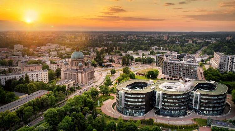
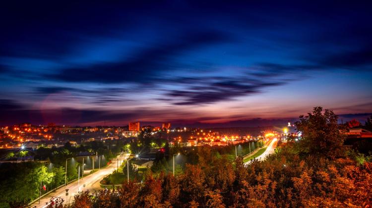
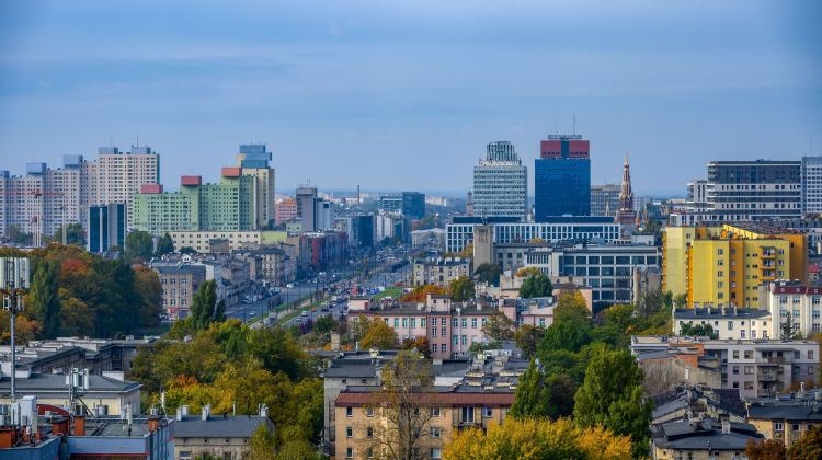
Heat islands that form in cities can be dangerous for many, especially when combined with heat waves. To check how climate change affects cities, the Polish Space Agency commissioned a heat island analysis for five large Polish cities, Jolanta Orlińska from POLSA told PAP. Understanding this phenomenon will help make life easier for residents on hot days.
Jolanta Orlińska is the Earth Observation Director at the Polish Space Agency. She is a graduate of the Warsaw University of Technology, an expert in the field of photogrammetry, remote sensing and spatial information systems, and a long-term member of the Polish Surveyors Association and the Polish Society of Photogrammetry and Remote Sensing. She is particularly interested in the computerisation of technological processes of acquiring and processing spatial data and managing projects on a national scale.
PAP: What are heat islands?
Jolanta Orlińska: This is one of the most characteristic microclimatic phenomena that occur in urban areas. It exists because the temperature in the city is higher than in the areas around it.
PAP: What does it mean for people?
J.O.: There can be many consequences. A study by scientists from the Polish Academy of Sciences indicates an increased risk of heat stroke - mainly in the elderly, disabled and socially excluded. Other studies show that when the temperature is too high, plants secrete more allergens. Sometimes, heat is accompanied by smog in the summer. If the heat island concerns a place where people spend free time and relax, it really is a nuisance. The economic factor is also important. Higher temperature entails greater use of cooling devices, which directly translates into higher energy consumption, and in addition warm air from air conditioners is released into the atmosphere.
PAP: A study you commissioned in 2022 for Gdańsk, Kraków, Łódź, Warsaw and Wrocław indicated that Polish agglomerations formed such islands. This is probably not only a Polish problem?
J.O.: Tokyo, Los Angeles, Montreal struggle with it, as do all large cities, and sometimes even medium-sized cities, also in Poland.
PAP: Is the formation of such islands in cities a result of poor planning, or is it simply a natural, unavoidable consequence of urban development?
J.O.: There are different reasons of course, and the phenomenon itself is complex. Much depends on the accumulation of artificially developed areas. Concrete, asphalt and brick absorb the sun's rays and then emit heat, increasing the ambient temperature. Reducing the green and blue infrastructure, i.e. green areas and water reservoirs, has a great impact. Added to this is poor ventilation, as well as human activity, including the use of air conditioning.
PAP: And what is the relationship between heat islands and climate and its changes?
J.O.: Some scientists claim that they are related to higher CO2 emissions, others believe that heat islands and global warming are not directly linked. They certainly interfere with each other - when heat waves intensify and are particularly severe in the area of heat islands. We are dealing with this more and more often.
PAP: This was not the first study of heat islands in Poland. How long have they been analysed in Poland and in the world?
J.O.: They have been studied in Poland for about thirty years. There are many centres that do this, including the Institute of Environmental Protection, the Faculty of Geographical Sciences of the University of Łódź, the Faculty of Geodesy and Cartography of the Warsaw University of Technology, the Institute of Meteorology and Water Management, the Institute of Geodesy and Cartography and the Institute of Urban and Regional Development. In the world, you can basically say that the problem has been known and described for over 200 years. Already then it was noticed that it was warmer in cities than outside their limits. The study we commissioned from the Institute of Meteorology and Water Management was comprehensive, it also took into account meteorological and archival data.
PAP: Where did the idea to commission it come from?
J.O.: The Polish Space Agency supports various space sector entities, primarily companies. We wanted to show how much we could gain by using space, in this case satellite observations. We want to promote it, disseminate it. Using American Landsat satellites and European Copernicus satellites, we obtained data with medium resolution, but climate scientists and urban planners can use even more accurate data. Meanwhile, the number of instruments for Earth observation, including those operating in the thermal wave range, continues to grow. These devices are getting better and better.
PAP: In the case of urban heat islands - what exactly can the observations reveal?
J.O.: First of all, information for city managers to help them plan better. Research shows that even building an alley or a bicycle path in the park raises the temperature locally. Unfortunately, not all cities properly take care of these basic needs of residents. There is even talk of 'concretosis'. We forget that people need green areas, water infrastructure, proper ventilation to live comfortably - and this is how housing estates should be designed. Of course, the point is not to abandon building or designating new bicycle paths, but to do it wisely, in a sustainable way. We should, for example, try to properly plan new, large housing estates.
PAP: And what about those places that are already built-up? Can anything be done here?
J.O.: Absolutely. I will give an example of our neighbours from the South. In order to help the residents, the authorities of Prague set up drinking water sources and water curtains in various places. The roofs of stops were covered with greenery, pots with plants were placed in the streets. Such steps can help.
PAP: Is it possible to create forecasts for residents?
JO: Certainly. Heat island data can be compared to meteorological and climate data to determine upcoming trends. Knowing, for example, that a heat wave is coming, we will be able to predict the situation in the city island. It will be possible to warn residents, medical and rescue services, and the city authorities will be able to respond appropriately and, for example, set up water curtains in advance. It is also possible to carry out long-term analyses of previously occurring changes and draw conclusions from them. For example, data from Landsat satellites were collected regardless of whether someone ordered them. So we have access to a huge collection of archival data.
PAP: You mentioned the increasing number of satellites in orbit. What can we expect?
J.O.: We used instruments that managed to achieve a resolution of 30 m. One of the British companies intends to put a whole constellation of satellites conducting observations in the field of heat rays, which will have a resolution up to 3.5 m. The data will probably be paid, but important that access to even such detailed data becomes possible and they can be accessed if necessary. (PAP)
Interview by Marek Matacz
mat/ bar/
tr. RL
Przed dodaniem komentarza prosimy o zapoznanie z Regulaminem forum serwisu Nauka w Polsce.